Navigating Varanasi Ghats: Why Post-Flood Conditions Require Caution
According to Dalimss News, the Ganga at Varanasi had fallen to 68.72 metres on Sunday, 13 September, but the riverfront was not yet back to normal. Boat operations remained suspended while teams cleared silt, managed relief work, and patrolled the banks.
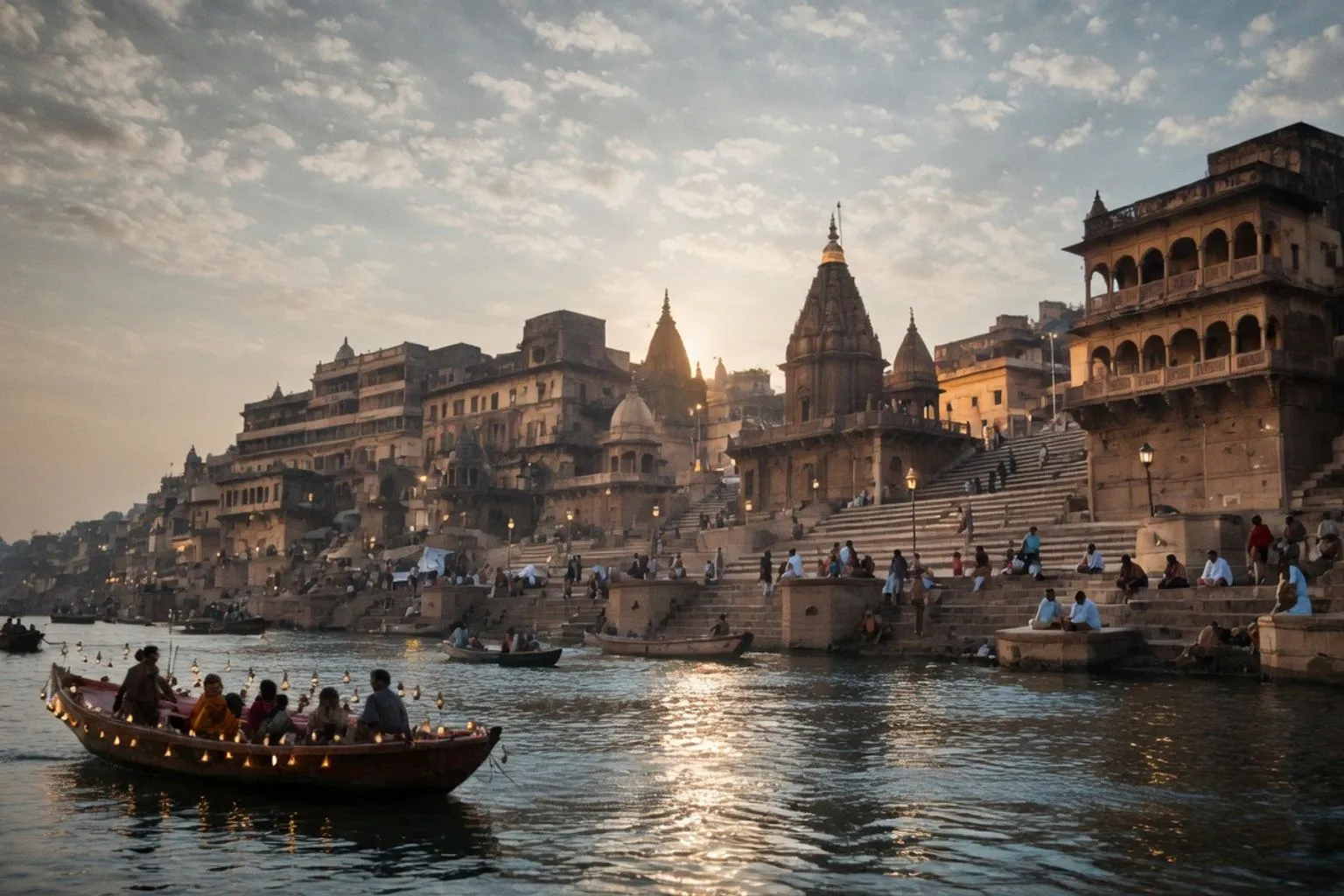
For anyone planning a ghat visit, the key point is simple: a lower gauge reading does not mean clear steps, open boat services, or safe access to deep water.
The river is falling; the ghats are still a work zone
The Central Water Commission gauge cited by Dalimss News put the river about 2.5 metres below the 71.262-metre danger mark, with the level falling at roughly 20 millimetres an hour. That is useful information, but do not read it as an all-clear.
Low-lying riverside pockets still held floodwater. Thick mud and silt covered sections of the stone steps where the water had withdrawn, and garbage had settled into the wet sludge in places. Relief work involving food, drinking water, and medical attention was continuing in areas that remained affected.
I would treat the ghats as an active recovery zone, not a normal sightseeing corridor. Wet mud can turn stone steps into a serious slip hazard. Odour and accumulated organic waste are also signs that cleanup is incomplete. Move slowly, keep clear of blocked or muddy sections, and do not enter deep water. The district administration’s warning remains part of the operational picture even though the river has dropped well below the danger threshold.
Do not build a boat plan around the falling level
Boat services were still suspended, and no restart date was given in the available reporting. NDRF and water police continued round-the-clock patrols along the river and its banks. That means the practical decision is already made for you: do not arrive at the ghats expecting to negotiate a last-minute boat crossing or river tour.
Watch for a fresh administrative order before treating boat operations as available. Until then, the river is being managed as a patrol and relief zone rather than a tourist boat corridor. The falling figure matters, but ground conditions matter more for immediate travel decisions.
This also changes how to approach the ghats themselves. Varanasi’s riverfront is a long chain of stone steps, platforms, shrines, and terraces running along the western bank of the Ganga. Many of the ghats serve bathing and ceremonial functions, while Manikarnika and Harishchandra are principal cremation sites. Dashashwamedh is associated with large riverfront ceremonies, and Assi marks the southern end of the main ghat zone. These are not interchangeable stops, and flood recovery can affect access differently from one stretch to another.
Use the riverfront as a route, not a checklist
The ghats form a continuous urban edge, but do not assume that continuity means uniform conditions. A clear stretch near one ghat does not confirm that the next set of steps is dry, open, or free of silt. Check the immediate ground before descending, especially where the river has recently pulled back.
For now, the efficient approach is to keep the visit flexible. Prioritise observation from stable, accessible areas, avoid deep water, and allow for detours around muddy steps or lanes that remain waterlogged. If your plan depends on a boat, postpone that part rather than trying to force it through an unclear reopening.
The hard rule: falling water does not equal restored access—until boats restart officially and the silt is cleared, treat Varanasi’s ghats as a recovery zone first and a sightseeing route second.