Himalayan Floods and the Hidden Risks of Nepal's Hydropower Expansion
Last month, a glacial collapse on the Tibetan Plateau sent a wall of water and debris across the Nepal-China border.
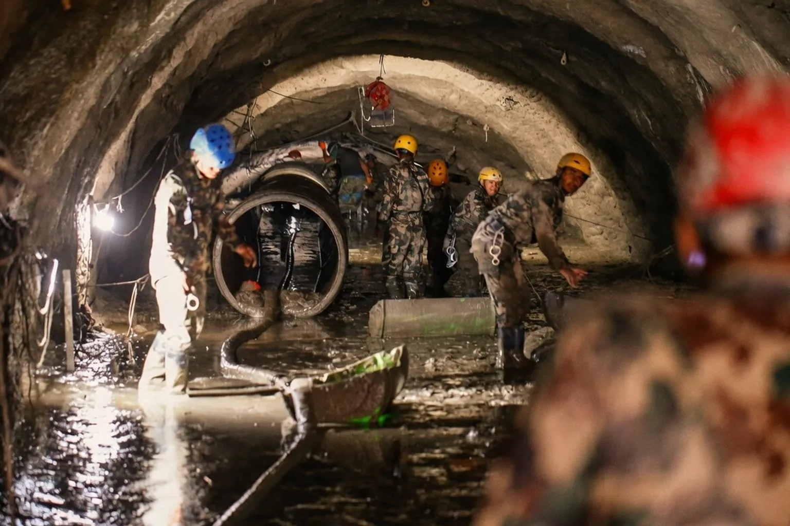
According to reporting from Mongabay, more than 1,000 people are confirmed dead, over 4,000 remain missing across Nepal and China, and rescue crews are still digging through mud looking for hundreds of workers believed trapped inside the tunnels of hydropower projects on the Trishuli River. That is not some distant tragedy for us on the Ganga — the Karnali, the one major Nepali river that has never been dammed, begins near Mount Kailash and empties into the Ganges downstream. Everything happening in that catchment eventually lands here.
Why the dam cascade is the real story
Skip the glacier headlines. The hard fact is what the builders did with the rivers after the melt. Nepal now generates nearly all of its electricity from hydropower, most of it run-of-river plants crammed into the same steep, narrow corridors where flash floods and landslides are most likely. When this flood hit, it damaged 11 operating hydropower plants and knocked out roughly a tenth of the country's total generating capacity. Fifteen more plants under construction took hits too. Nepal, normally an electricity exporter to India, has had to halt exports and start buying power from its neighbor. Researchers studying dam-building across South Asia warn that these projects are not passive bystanders — their concrete, tunnels, and altered channels can turn a bad flood into a catastrophic one when they fail or get overtopped. That is the force-multiplier problem, and it is not theoretical anymore.
The Karnali is the answer, not the casualty
Here is the part the planners do not want you to read. Nepal has roughly 6,000 rivers and streams. Every one of them has been dammed or is slated to be — except the Karnali. Glacier-fed, free-flowing through the western canyons, it is the last major river system in Nepal untouched by concrete, and it joins the Ganges on the Indian plains. Climate scientists have been tracking the warning signs for years: thinning glaciers, degrading permafrost, destabilized slopes, glacial lakes swelling and bursting with increasing frequency. The Kathmandu-based International Centre for Integrated Mountain Development has documented these trends for a decade, and Nepal's disaster agencies knew the risks were rising. The government and the hydropower industry built anyway. International financiers are now backing plans to triple Nepal's hydropower capacity over the next decade, largely to feed India's power-hungry grid. If that build-out follows the same corridor logic, the next Ganga-side flood event will not be a surprise — it will be an invoice coming due.
What I am watching, and the rule I am holding
Track the Karnali first. It is the control case for what a free-flowing Himalayan tributary looks like under climate stress, and it is the most direct upstream signal for Ganga water levels in the western ghats. Push back on any "run-of-river" pitch that does not show the full catchment map, the glacial lake inventory above the intake, and the debris-flow history of the corridor. If the builder cannot show you those three things on paper, they cannot show you safety on the river. And keep the Vaiont Dam in mind as the standing reference — the 1963 disaster in Italy, where a mountain slide into the reservoir overtopped the dam and wiped out villages downstream, is still the textbook example of a "force multiplier" event. Read it once. Remember it every time someone tells you a small dam in a steep valley is perfectly safe. The Karnali did not survive a century of Nepali dam-building by accident; it survived because nobody engineered it. That is the lesson, and it travels all the way down to Varanasi.